
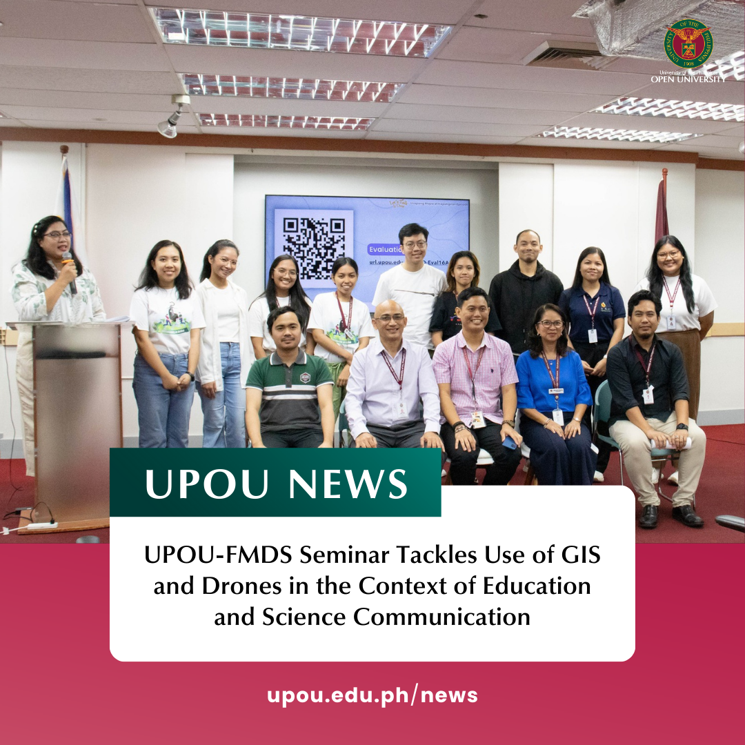
The UP Open University (UPOU) Faculty of Management and Development Studies (FMDS), through its Let’s Talk It Over (LTIO) Seminar series, hosted the second episode of Usapang Mapa at Kapaligiran: A Discussion Series on Urban Planning, Environmental Management, and Sustainability on 16 September 2024. The event took place at the UPOU Audio-Visual Room and was live-streamed online.
This episode focused on “Understanding Geographic Information Systems (GIS) and Drones in the Context of Education and Science Communication.” It aimed to deepen the audience’s understanding and appreciation of mapping technologies and their real-world applications in addressing contemporary challenges.
The first speaker, Dr. Nathaniel Bantayan, UP Scientist I, Forester, and Vice Chancellor for Research and Extension at the University of the Philippines Los Baños (UPLB), highlighted the power of GIS technology and its broad applications. His presentation was divided into three parts: Sense of Place, Advent of Geomatics, and Applications.
In Sense of Place, Dr. Bantayan discussed how location was historically defined by circumstance and necessity. He used the example of accommodation rates near UPOU to explain how proximity to key areas affects economic value. Advent of Geomatics focused on how the rise of computers and information systems, coupled with satellite technology, enabled the development of GIS maps, which help in land allocation and environmental monitoring. He demonstrated how GIS can visualize changes in Philippine forests since the Spanish era and emphasized the use of GIS for policy visualization, sustainable forestry, and modeling forest management practices.
During the open forum, Dr. Bantayan underscored the importance of integrating AI with GIS for specific applications, rather than avoiding its use. He also stressed that decision-making, especially in governance, should be data-driven, utilizing all available information to make informed choices.
The second speaker, Dr. Jabez Flores, Drone Pilot and Senior Lecturer at UPOU, presented Fly High, Malunggay! Using GIS and Drones for Science Teaching. He discussed the value of drones and GIS in the classroom and their potential to aid in science education and environmental awareness. Dr. Flores explained that drone photos are more than just images—they provide critical data. He shared his techniques for incorporating drones into teaching Environmental Science, Physics, and Permaculture, highlighting the importance of location data in enhancing the learning experience. He also emphasized that every science student, researcher, and scientist should learn how to use drones for mapping and contribute to a public repository of drone data. He concluded by stressing the need to adapt to the rapid technological changes shaping our world and to use these tools to better understand and protect the environment.
To close the program, Assistant Professor Karl Abelard Villegas, Forester and D/MENRM Program Chair, emphasized the collaboration between UPOU and UPLB in advancing the use of cutting-edge technologies like Geomatics, GIS, and drones. He highlighted the role of these tools in policy analysis, resource management, sustainable forest management, and agricultural development. He also pointed out how they support the United Nations Sustainable Development Goals (SDGs), by balancing environmental protection with societal well-being. Furthermore, he noted that these innovations in GIS and drone technology have the potential to enhance STEM education and sustainability research, enabling students and researchers to contribute valuable data that supports both local and global development efforts.
Written by Marinela Hernandez ♦ Edited by Dr. Myra C. Almodiel and Anna Cañas-Llamas ♦ Photos by Anna Mhari Duria


